Projects in the Havant Area

With a complex coastal landscape that requires a range of bespoke approaches, Havant Borough Council has a number of coastal projects underway. 

These range from providing critical flood resilience to at-risk households, maintaining public access and amenity and partnership working on managing local erosion – and more besides.

Take a look below to find out more about projects within the borough.

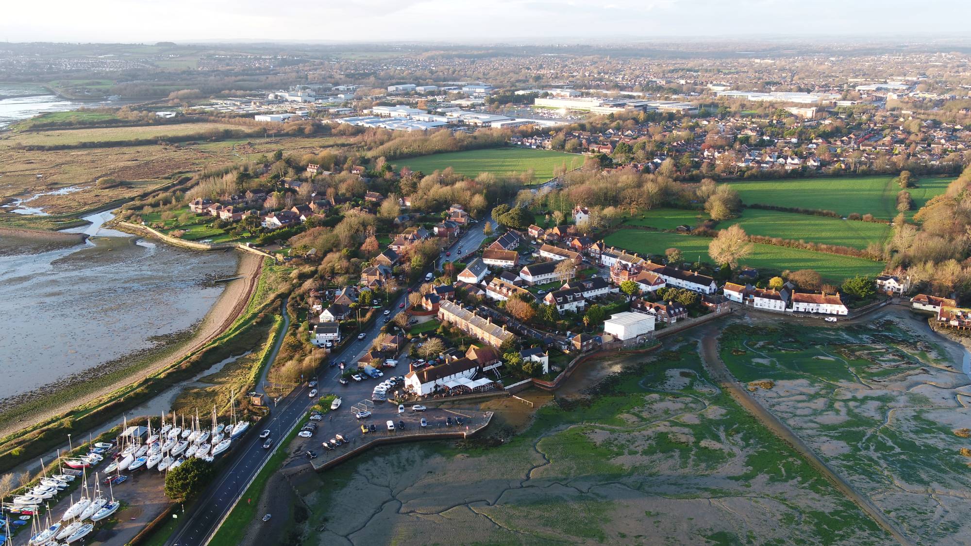
Langstone - drone view

Langstone has experienced significant flooding in recent winters, with April 2024 recording some of the highest tide levels ever seen in the region.

The Langstone Coastal Scheme will reduce risks of coastal flooding and erosion, whilst maintaining connectivity between Langstone and Hayling. Consultation has been underway in advance of works expected from April 2027.

Latest news
View our latest public exhibition
Share your views - Consultation closes 30 October!
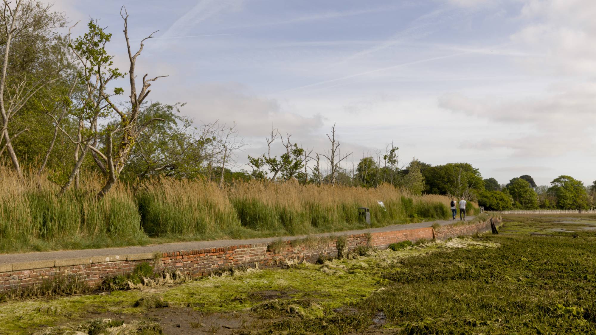
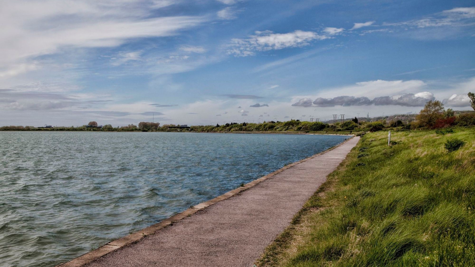
Langstone Mill Pond - sea wall

Sitting within a sensitive harbour environment, the sea wall between Langstone Mill Pond and Wade Lane, Havant has required attention in recent years. With a dedicated and independent report on future options from Royal Haskoning DHV, select works – including the installation of a new footbridge opening soon – have helped maintain this popular asset.

Latest news
Read the report
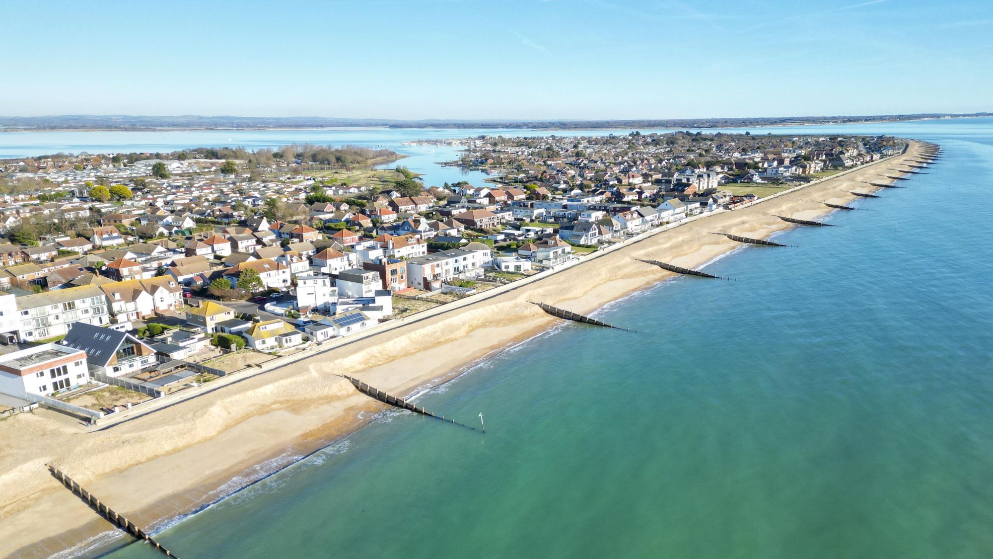
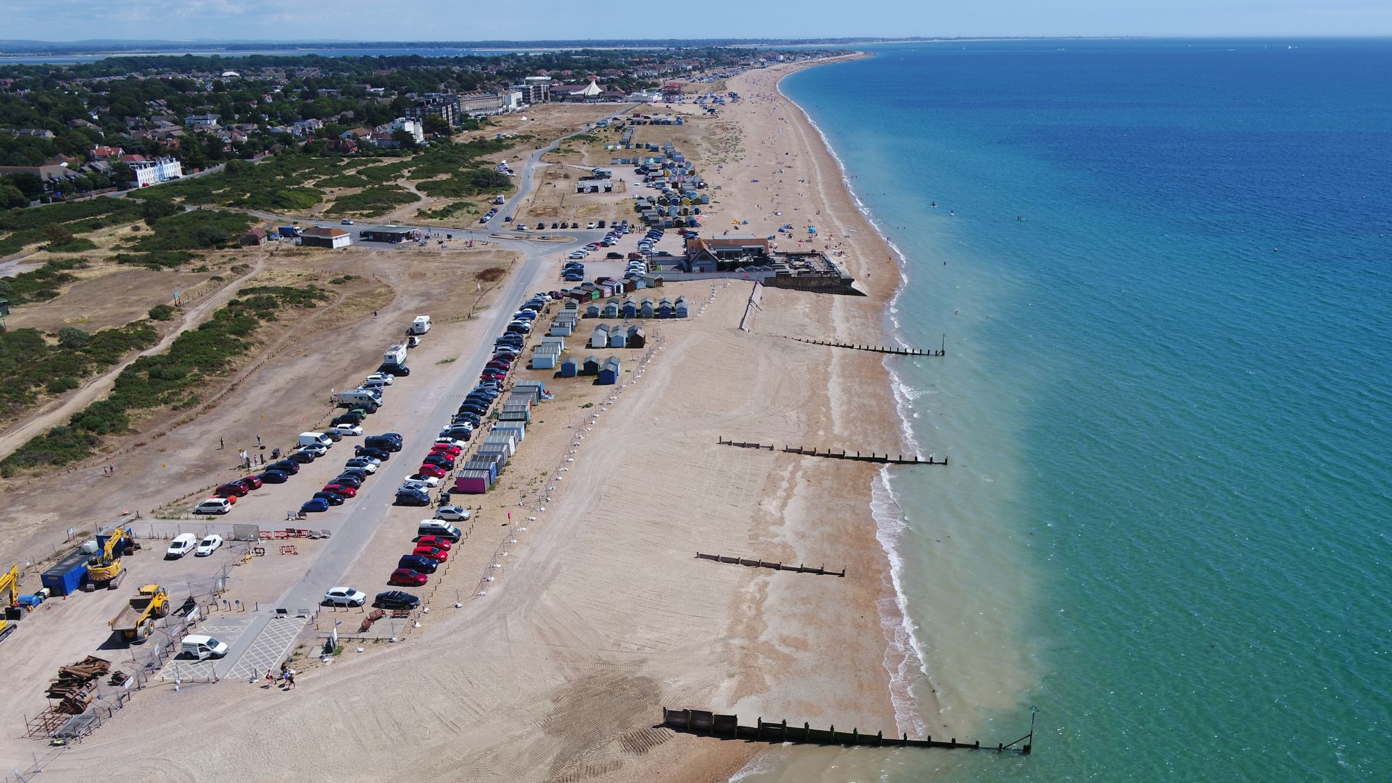
Eastoke Corner, Hayling Island

Without actively implementing measures to manage flood and erosion risks on Hayling Island, over 3,000 properties are likely to be at risk by 2120.

As a result, the Hayling Island Coastal Management Strategy was developed by Coastal Partners and approved by the Environment Agency in July 2025. The strategy provides a long-term plan to reduce the risk of coastal flooding and erosion to people, and both the developed and natural environment for the next 100 years.

It achieves this by identifying a suite of leading options to manage and reduce these risks in a cost effective, holistic and sustainable manner. View the strategy below.

View the strategy here
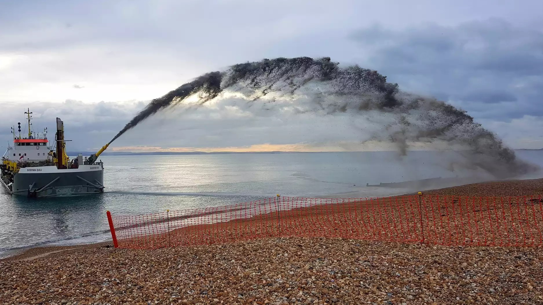
Replenishment of shoreline

A beach management plan is in place for the South Hayling shoreline. In place to deliver flood and erosion protection to a 1 in 200-year standard of protection, there is a recognised programme of works to maintain, monitor and intervene as required to maintain the beach and key structures along the Eastoke frontage.

More on the project
View the management plan
West Beach, Hayling Island

Exposed to large and powerful waves, West Beach has evolved through a series of historic interventions which have defined the shoreline we know today. Havant Borough Council, Hayling Golf Club and the Inn on the Beach have now committed to work together and establish a way forward to protect the area.

More on the project
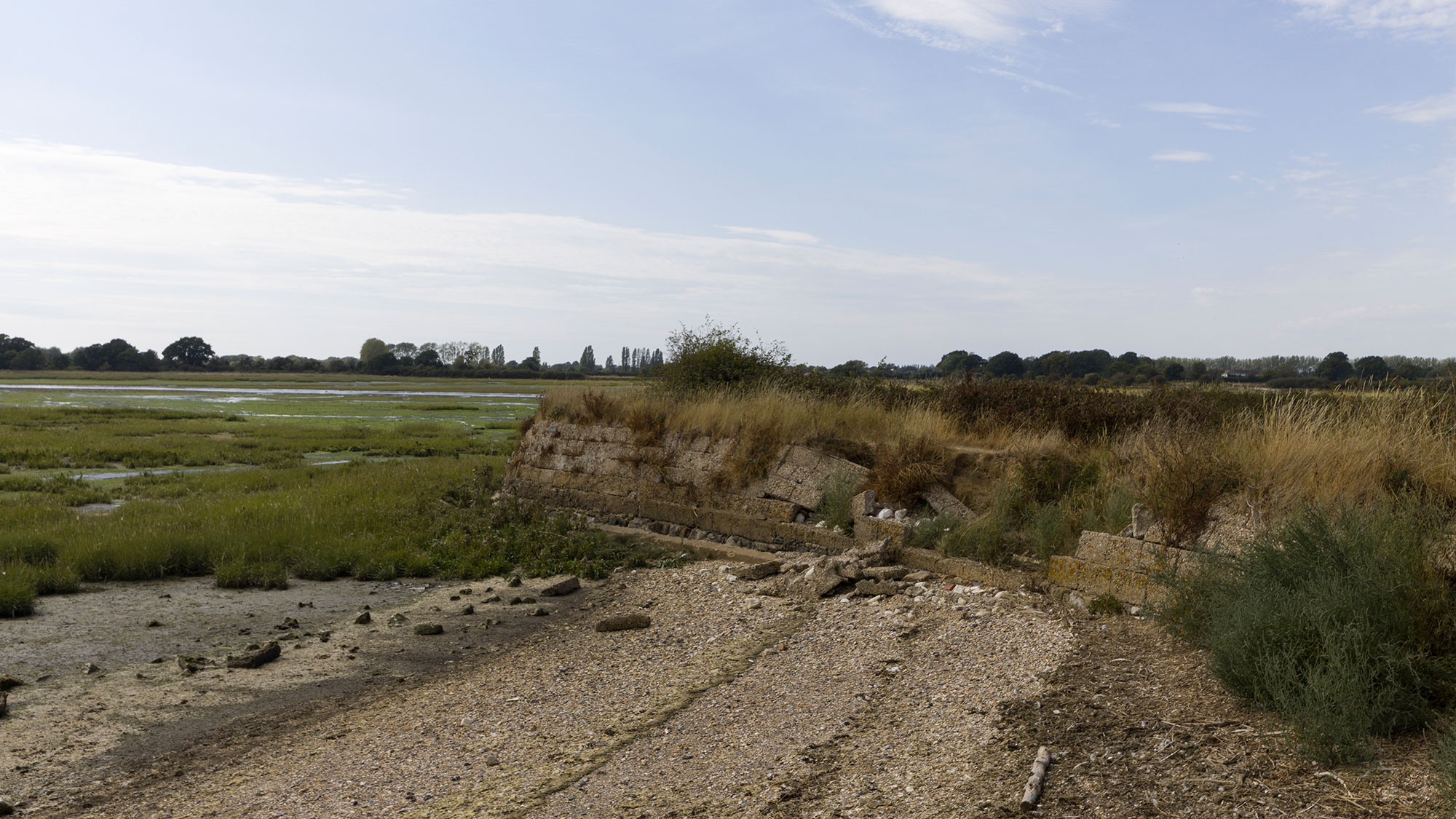
Broadmarsh Coastal Park

Broadmarsh Coastal Park sits on a historic coastal landfill site. Originally an intertidal mudflat crossed by Storehouse Lake, the area was reclaimed for landfill in the 1960s before entering disuse.

While historically repairs to the defence have been carried out to prevent a breach, ongoing maintenance is becoming increasingly unsustainable, economically unviable and difficult to secure funding for.

More on the project
Find out what people value about Broadmarsh
Sample Dell Quay image

With funding secured in 2025 from Chichester District Council, Havant Borough Council and the Environment Agency, work is now underway on auditing the harbour’s defences – this data will inform solutions to improve the flood resilience of local communities and address rising sea levels resulting from climate change.

About the project

We use cookies

We use cookies to improve your experience on this website. You may choose which types of cookies to allow and change your preferences at any time. Disabling cookies may impact your experience on this website. You can learn more by viewing our Cookie Policy.